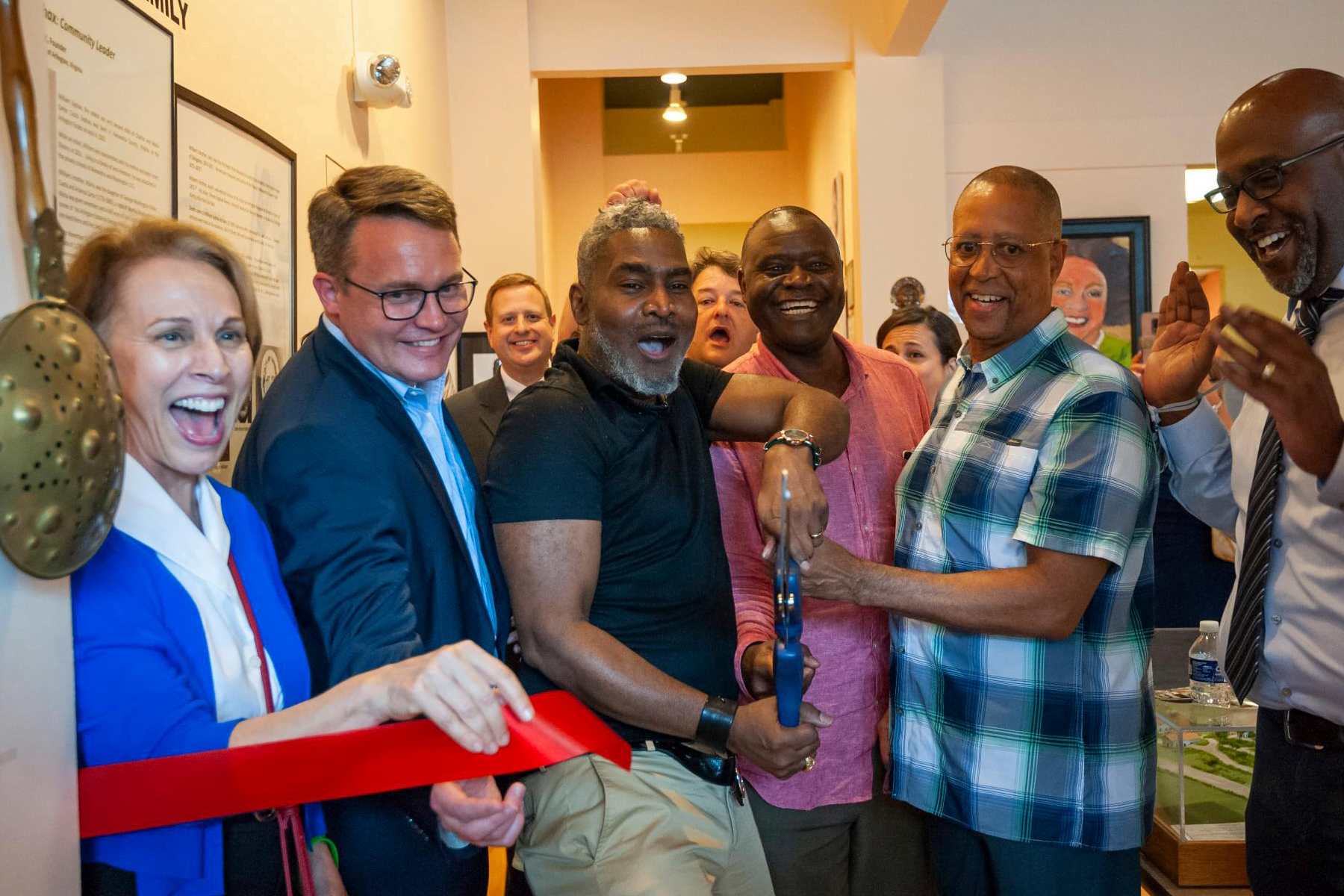
Columbia Pike’s Rich History
One of the oldest thoroughfares in Arlington, Columbia Pike has connected the nation’s capital to Northern Virginia since 1810. Over the past two centuries, the Pike has seen several important periods of transition that took it from a small farming community to the vibrant, diverse urban corridor it is today.
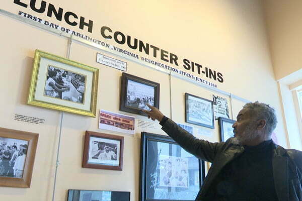
Columbia Pike Documentary Project Books
Living Diversity

Living Diversity collects work by the Columbia Pike Documentary Project, a team of photographers and interviewers who have captured the evolving life of the people and places that make up this historic corridor in Arlington, Virginia, immediately adjacent to the nation’s capital.
Five gifted photographers have collaborated to document the essence of the place they call home. Older, established ways of life are still in place along the Pike, flourishing alongside those of large numbers of citizens from every corner of the planet. Unlike in many parts of the world, or even in our own country, a stunningly diverse set of people live here in relative harmony.
The book depicts historical, artistic, demographic, and cultural trends in this unique community, trends that are mirrored, in one stage or another, in other areas of the nation. Visually, it offers an avenue for understanding the soul of this successful experiment in tolerance and diversity. An exploration, a celebration, a gritty and thought-provoking journey, the book is also a series of quietly expressed questions posed by each photographer. Their eyes, hearts, and minds were opened throughout this seven-year journey–they trust yours will be also.
Distributed for the Columbia Pike Documentary Project
Price: $39.95
The Road to Civil War
While Virginia ceded from the Union during the Civil War, Alexandria County, including all of present day Arlington County, remained in control of the Union Army, and Columbia Turnpike was the most direct route from Washington into Confederate territory. This crucial route warranted the construction of two forts: Fort Runyon (the largest of the Washington Forts) and Fort Albany. There are no remaining traces of the forts today though the sites are memorialized with historical markers.
Image citation: Church, B. S.; Reconnaissance in advance of Camp Mansfield; 1861; Library of Congress


The Site of Freedom
President Abraham Lincoln issued the Emancipation Proclamation on January 1, 1863 and newly freed slaves flooded the District in search of new lives, quickly overwhelming the modest camps erected by the government. In search of a more permanent community, Robert E. Lee’s former estate, Arlington House, was selected as the site for Freedman’s Village.
Within a few weeks, 100 former slaves settled on the site and in December, Freedman’s Village was officially dedicated with a ceremony attended by members of Congress and other notables. The village turned into a semi-permanent settlement with several thousand residents. With new legal rights and freedoms, the experience of the community’s residents was an appropriate precursor to what the Arlington estate would become just a year later – Arlington National Cemetery, a national memorial ground remembering the sacrifices of thousands who defend those very freedoms.
Image citation: Freedman’s Village, Arlington, Va.; ca. 1863; Library of Congress
A Commuter Corridor
In 1892, the Washington-Virginia Railway Company built the first electric railway in Northern Virginia. The construction of Columbia Station, at what is now Columbia Pike and Walter Reed Drive, spurred the area’s first significant wave of development. At the turn of the century, the Pike was well on its way to becoming a bustling suburb and one of the busiest commuter corridors in the County.
Its heavy use by commuters made the Pike an ideal candidate for testing new paving techniques. Columbia Pike was the first road to have Continuously Reinforced Concrete Pavement, a type of Portland cement concrete pavement reinforced with steel rebar that was used extensively during the Interstate System construction program in the 1960s.
Columbia Pike is still the busiest commuter corridor in the entire Commonwealth of Virginia with over 40,000 vehicles and 18,000 transit riders traversing the Pike every day.
Image citation: Washington, Alexandria, and Mount Vernon Electric Railway; ca. 1892; Document Bank of Virginia, Library of Virginia


A Telecom Pioneer
In 1911, the Navy began construction of three large radio towers on the south end of Fort Myer that would dominate the Arlington skyline until 1941. Also known as the “Three Sisters,” the tallest of the Arlington Radio Towers stood at 600 feet tall, making it the tallest free-standing radio tower in the world and second-largest man-made structure in the world, second to the Eiffel Tower.
The towers pioneered efforts in advancing wireless communication. In 1915, the President of AT&T spoke into a telephone line to his office in New York City. His words were carried over a telephone line to Radio Arlington and then broadcast to the Naval radio station on Mare Island, California. Later that year, the towers made the first Trans-Atlantic voice communication with a call between the “Three Sisters” and the Eiffel Tower – a distance of more than 3,600 miles.
Image citation: Horydczak, Theodor; View of Arlington Radio Towers; ca. 1920; Library of Congress
A World War Brings Local Changes
With World War II in full swing, the rapidly expanding U.S. War Department was expected to reach 30,000 employees by 1942. The growth highlighted the need for a single headquarters and the Pentagon was constructed in Arlington. The construction displaced the East Arlington and Queen City communities – over two hundred households and nine hundred African-American residents, many descended from Freedman’s Village. The military offered temporary housing trailers in nearby neighborhoods along Columbia Pike and eventually constructed a collection of garden apartments in what is now the Arlington View neighborhood. The military also created a planned community of single family homes – called Columbia Forest – along Columbia Pike to house the influx of federal workers. Over the next decade, the area saw continued development of housing subdivisions and multi-family dwellings that rapidly increased Columbia Pike’s population.
Image citation: A Store in East Arlington; ca. 1940; Arlington Public Library


New Connections Reshape Columbia Pike
In 1974, a bridge constructed across Four Mile Run and South George Mason Drive was extended to Route 7. These new connections provided a short-cut from Fairfax County into Arlington County that proved extremely popular and the area saw a dramatic increase in traffic from a handful of local commuters to over 5,000 vehicles per day. This spurred a new wave of development throughout the 1970s and 1980s, primarily the building of convenience stores, drive-through banking facilities, and fast food restaurants, including the first Five Guys. These new, free-standing structures, surrounded by surface parking lots, significantly fragmented Columbia Pike’s compact, urban character and solidified its transformation into a strip commercial area.
With the end of the war in Southeast Asia, refugees from Vietnam, Laos, and Cambodia flocked to the area altering the face of the Pike dramatically. Large numbers of Latinos started arriving in the 1980s, followed in the ’90s by refugees and immigrants from East Asia and the Middle East. Today, the communities of the Pike include people from Sudan, Somalia, Ethiopia, Eritrea, Pakistan, Mongolia, El Salvador, Guatemala, Bolivia, Ukraine, Egypt, Azerbaijan… the list goes on.
Image citation: First Five Guys Opens on Columbia Pike; 1986
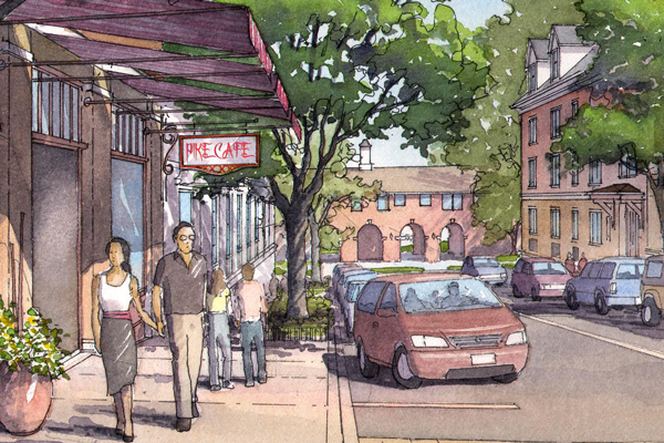
A Traditional Vision for a New Community
Columbia Pike was quickly becoming an auto-oriented, suburban, commercial strip plagued by traffic congestion. In the 1990s, the Arlington County Board formed the Columbia Pike Initiative, which involved the newly formed Columbia Pike Revitalization Organization (now the Columbia Pike Partnership), local residents, businesses, and property owners along Columbia Pike. The group was charged with determining goals, objectives, and action plans to address both short-term and long-range community issues. The Initiative set a vision for Columbia Pike that sought to restore the urban “Main Street” feel of Columbia Pike with enhanced walkability, accessible public transportation, and new commercial development of shops, restaurants, and entertainment centers, while celebrating the new, ethnically-diverse and culturally-rich community that makes the Pike so unique.
From this Initiative, and several community charrettes, came the Revitalization Plan, Form Based Code, and Neighborhood Conservation Plans that continue to guide Columbia Pike through its current period of economic growth.
Image citation: Columbia Pike Community Charrette; 2002; Columbia Pike Initiative: A Revitalization Plan